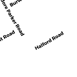
15 HALFORD RD
Owner Information
LEVINE BETH S
15 HALFORD RD
WEST ROXBURY, MA 02132


Property Details
15 HALFORD RD is classified as a Single Family Residential (Colonial).
The primary structure on this property was built in 1915. There is 1,537ft2 of residential/living space within this property. This property is listed as having 7 rooms.
15 HALFORD RD is valued at $579,800. The land is valued at $237,700 and the structures are valued at $342,100.
The most recent deed for 15 HALFORD RD is recorded at the local registrar in Book 57222, Page 3RL. 15 HALFORD RD was last sold on Wednesday, September 16, 1998 for $260,000.
Assessment data from fiscal year 2020.
Flood Data
According to the FEMA National Flood Hazard Layer, this property does not appear to be in a flood zone. It may also be in an area not yet reviewed. Nonetheless, confirm this information prior to taking any action.
To view the flood hazards around this property, create a FEMA "Firmette" Map of the area around 15 HALFORD RD.
Broadband Internet Providers
| Provider | Type | Bandwidth (mbps) | |
|---|---|---|---|
| HughesNet | Satellite | 25 | 3 |
| VSAT Systems, LLC. | Satellite | 2 | 1 |
| Verizon New England Inc. | Fiber | 940 | 880 |
| Comcast | Cable | 1000 | 35 |
| RCN | Cable | 500 | 20 |
| GCI Communication Corp. | Satellite | 0 | 0 |
| Crown Castle Fiber | Fiber | 0 | 0 |
| Viasat Inc | Satellite | 100 | 3 |
| Verizon New England Inc. | DSL | 10 | 1 |
Broadband service provider data from December 2020.
Adjacent Properties
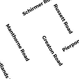
- PIERPONT RD
Undevelopable Residential Land owned by VIGLAS LAMPROS - 911 HALFORD RD
Two-Family Residential owned by SHAFTS GERALD A - 1820 PIERPONT RD
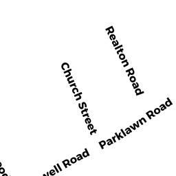
Two-Family Residential owned by VIGLAS LAMPROS - 99 THEODORE PARKER RD
Single Family Residential owned by GREBOSKI-DUBUSKE SUSAN A T - 87 THEODORE PARKER RD
Single Family Residential owned by LAWRENCE C SPEZZANO ETAL